Devil’s Slide to Saddle Junction in Idyllwild, California

Group of friends wanted to relive the adventure and camaraderie of our weekend trip to Idyllwild last year. A charming  and quiet mountain resort, it’s turning out to be a great destination to travel for us looking to get away from the city, stay in a cabin, hike, BBQ and be happy in each other’s company. And again, this turned out to be such a memorable trip.

DSC02313

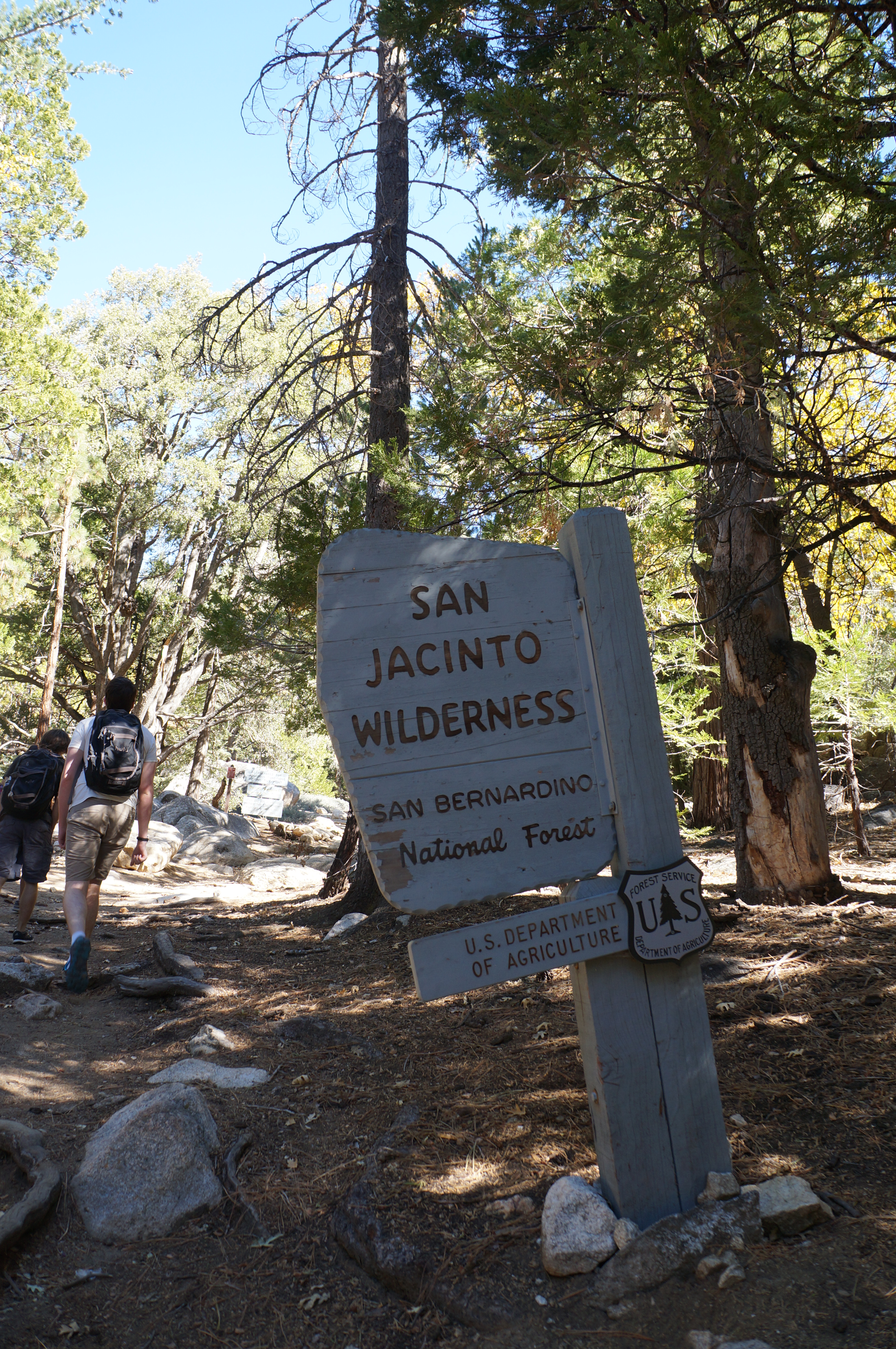
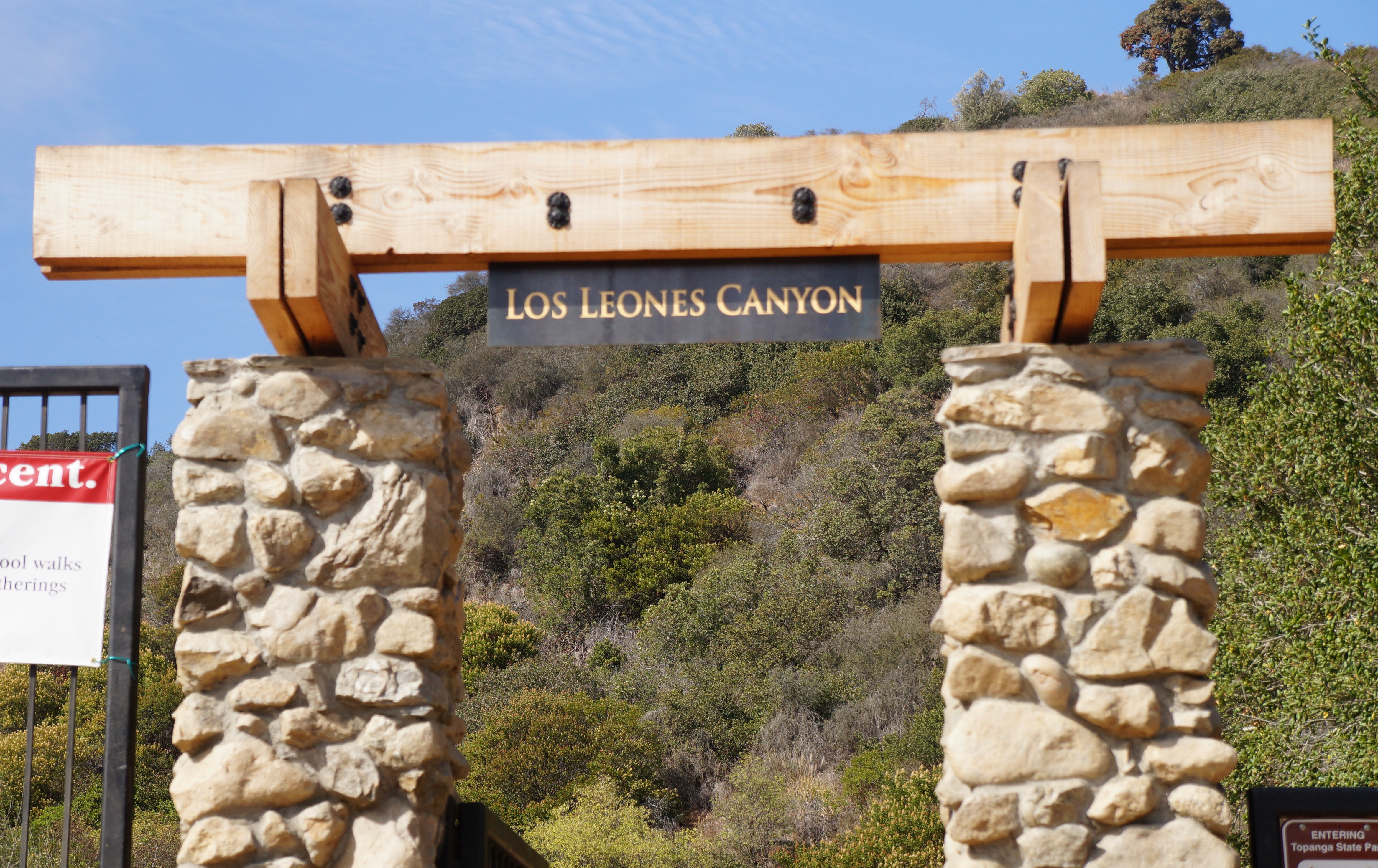
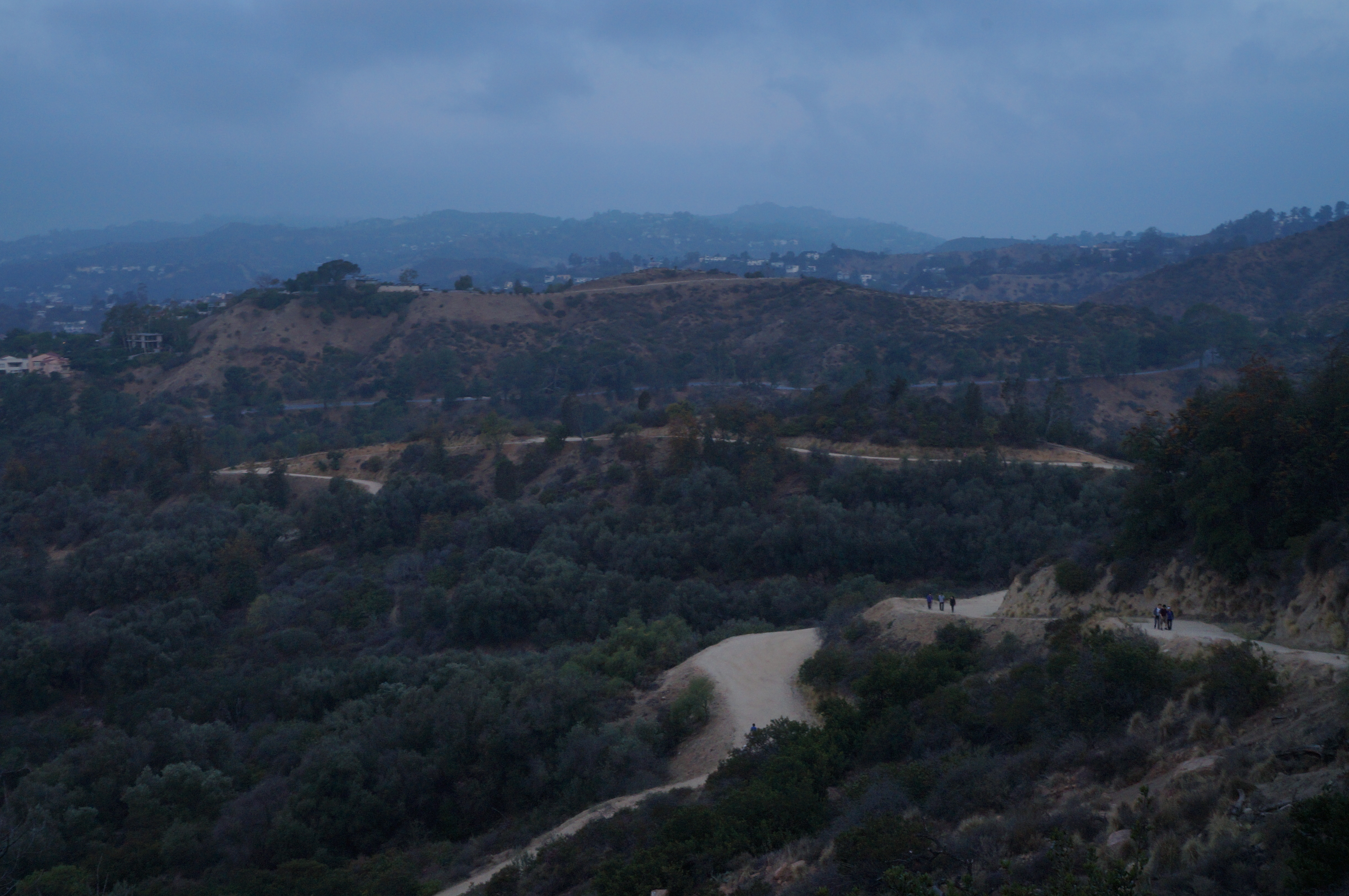
We chose to do a moderate hike on Saturday so we could be back before sunset and enjoy the beautiful view from our cabin. We needed to purchase a hiking pass from the ranger station who were helpful in providing us with trail options based on what we were looking for.  For those who hike in the dry forest area around Santa Monica mountains, this is a good change.

DSC02338

We met very few tourists along the way – One of the main reasons why I love this place. Its not too empty to feel threatened but enough for it to be an escape.

DSC02325

Idyllwild is popular for rock climbing and we had a climber amongst us who couldn’t resist :)

DSC02342

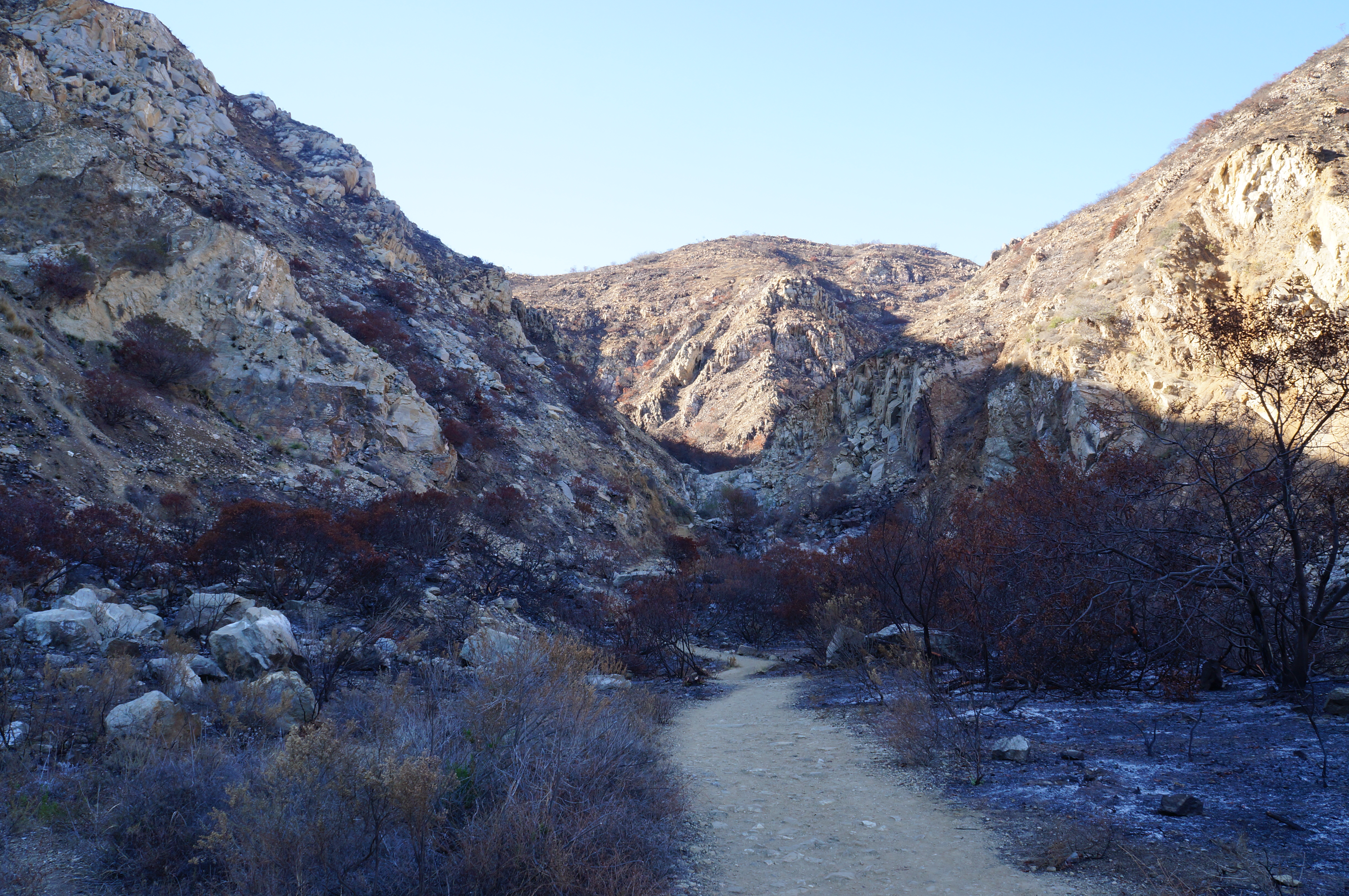
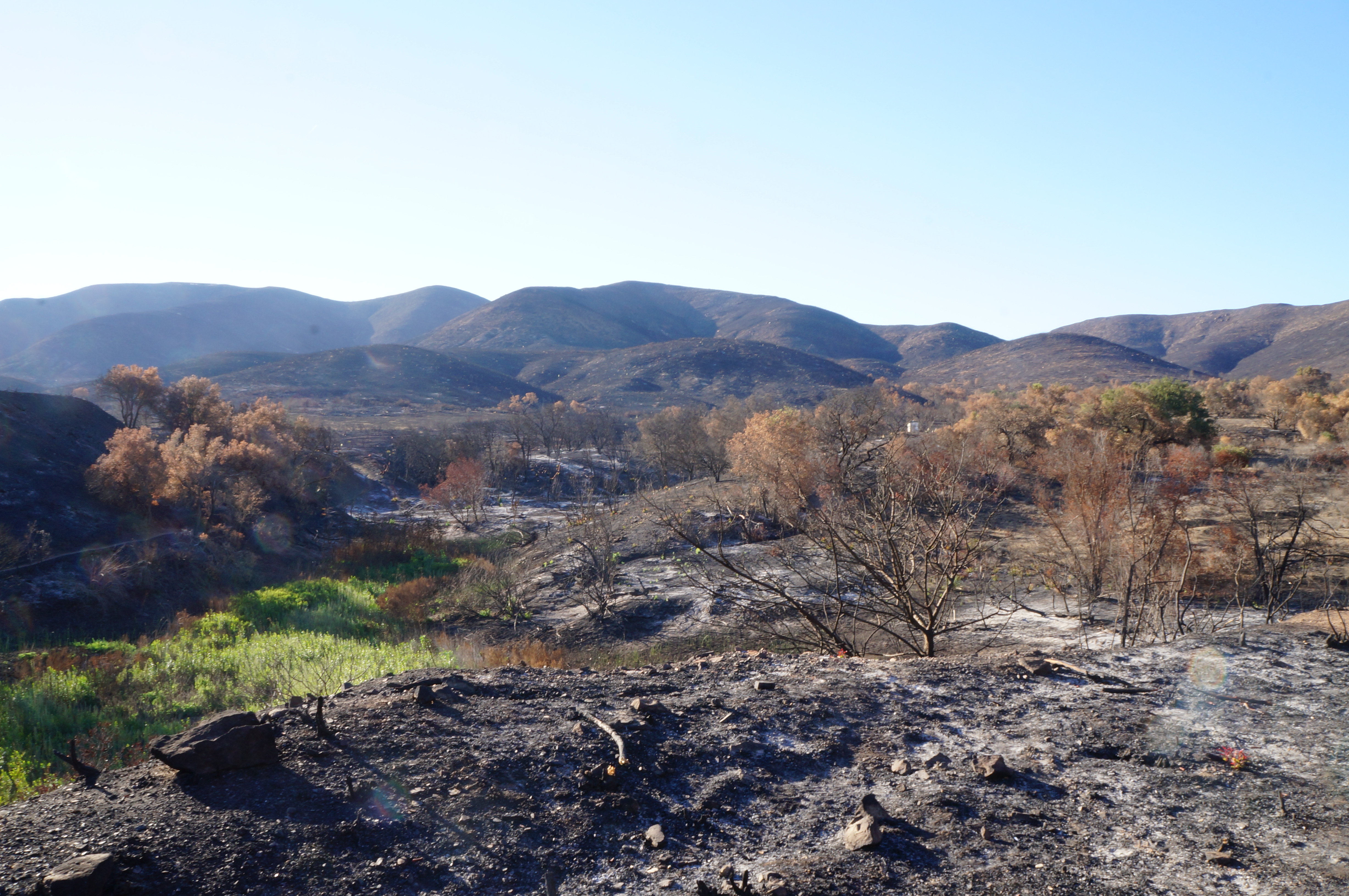
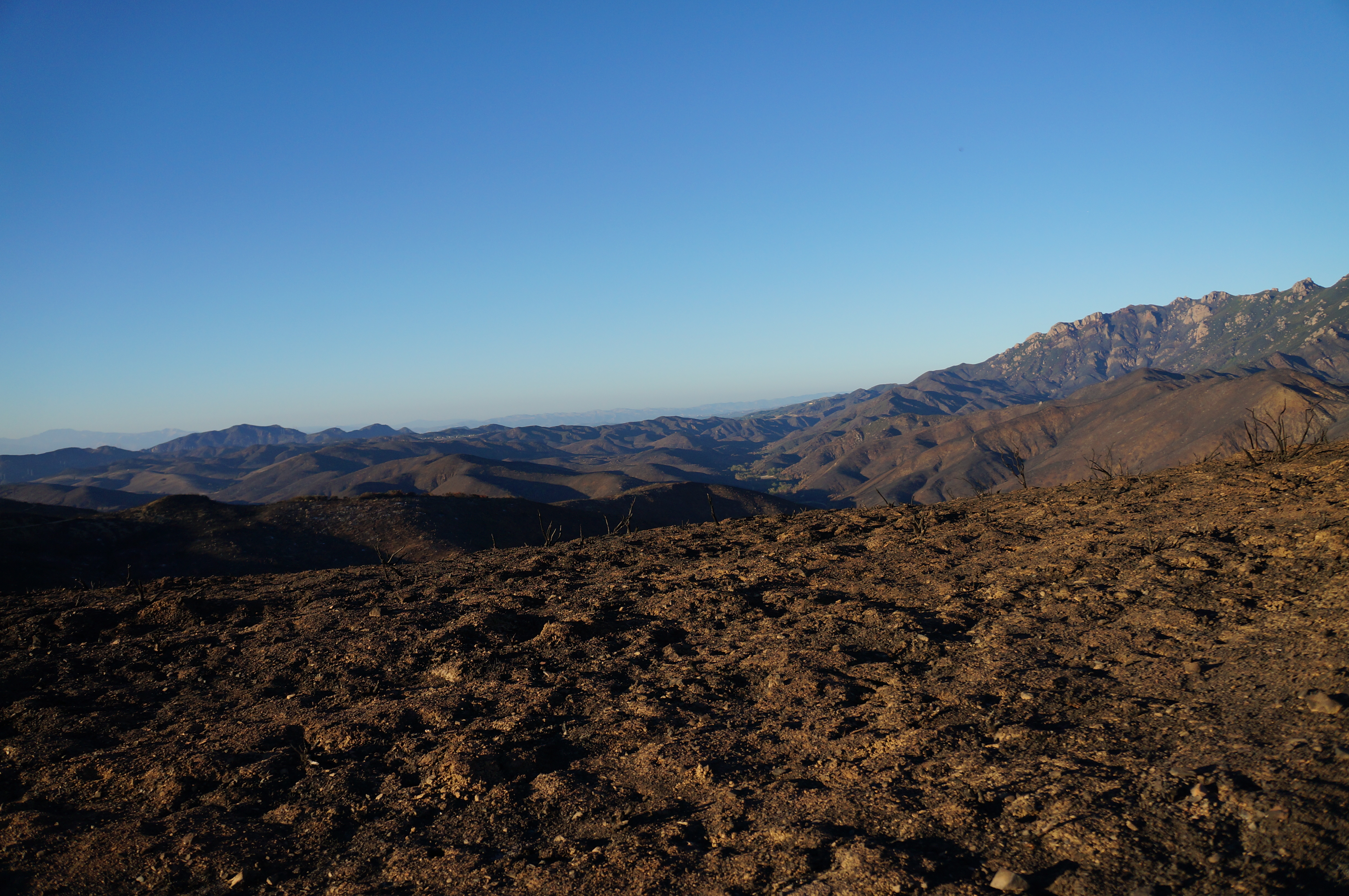
This trail ends in a junction where it goes off into different other trails. Most of those were closed off due to fires. We chose to stop here and turn around. Didn’t feel as accomplishing but oh well there is next time. The pictures I took of this end are not-so-flattering with us looking tired… so, I am not going to post that :)

More pertinent information about the trail:
http://alltrails.com/trail/us/california/devils-slide-trail
http://www.yelp.com/biz/humber-park-idyllwild?nb=1

If you want a hike that’s more fulfilling but don’t mind getting really sore (at least I was last year), I would really recommend Deer Springs Trail. http://alltrails.com/trail/us/california/deer-springs-to-suicide-rock.

Los Liones Trail in Pacific Palisades, California

A long sweaty 7 mile hike from Los Liones to Parker Mesa Overlook and back. I will be prepared with a cap and sunglasses next time I am on this one. The trail is not shaded but well marked, has free parking and good views of the ocean.

We were on this trail early August and it was sunny & clear.

DSC01093

Trailhead

DSC01138

DSC01142

Our trail ended at the popular Parker Mesa Overlook. I was expecting it to have high foot traffic but it was quiet & peaceful. Much needed rest-stop :P

The Overlook

The Overlook

More details:

http://www.modernhiker.com/2010/01/04/hiking-los-liones-trail-to-parker-mesa/ – Highly recommended if you don’t want to get lost.
http://alltrails.com/trail/us/california/los-liones-canyon-los-liones-canyon-east-topanga-fire-road-trails

Ray Miller Trail in Malibu, California

I am in love with this trail. I have hiked this one twice and both times it’s been nothing short of amazing. It’s a 7 mile loop trail and easy to stick to the loop if you always stay to the right (assuming you are looping clockwise).

This was a sunset hike on a Tuesday with clear sky and pleasant breeze. The landscape here is burnt & charred with little vegetation. But thats what makes it even more breathtaking – the vast openness. I was blown away :)

DSC00853

Start of the trail

Some sign of vegetation

DSC00866

Panorama of the hills

DSC00881

Trails waiting to be explored

DSC00891

Hills

The second half of the trail is when we saw the beautiful ocean with the sun setting. And there is more – You can hear the sound of the ocean waves… Told you, this hike is amazing at different levels.

DSC00901

Ocean view

DSC00905

Ocean view

DSC00916

This keeps getting better :)

DSC00920

That beautiful sunset

DSC00922

Overestimated the brightness here :P

The foot traffic on this trail is minimum probably because its around 35 miles north of Santa Monica from PCH, way farther than other easily accessible trails.

More information: http://alltrails.com/trail/us/california/ray-miller-trail

Temescal Canyon Trail in Pacific Palisades, California

This post has been a week late in coming. Hiked this ~5 mile trail on a clear sunny pleasant day with the second half of the trail giving us some gorgeous views of the ocean.

Trail

Trail

I would recommend using alltrails map to find the loop in this trail.

City & Mountains

Panorama – Mountains

Ocean views

Panorama – Ocean

If you want a killer workout, hike this trail clockwise. The elevation is very steep for the first couple of miles. We were hiking anti-clockwise and didn’t regret it. It’s something to see great views while you are going downhill with no huffing and puffing.

Ocean views

Ocean views

More information: http://alltrails.com/trail/us/california/temescal-canyon-loop-trail

Ferndell Trail to Griffith Observatory in Los Angeles, California

If you are like me, who wakes up early and is undecided about how to spend those early morning hours, I would recommend checking out that beautiful sunrise. It’s difficult to find a great spot in Los Angeles for sunrise but the view from Griffith Observatory in those golden hours isn’t all that boring either.

This was a short 2.5 mile, out-and-back hike from Ferndell avenue to the observatory. The elevation makes up for the relatively short hike making it a decent workout. This is the basic trail; there are numerous other trails that branches off of this path; one particularly takes you to the Hollywood Sign.

Image

The destination – Griffith Observatory

Image

Trail

I would not hike this trail after 9 am; it gets very crowded around here. But this was very peaceful.

Image

Full moon behind the dome & a random stranger

More information: http://alltrails.com/trail/us/california/ferndell-ferndell-trail. Detailed information on how to find the trailhead: http://www.simpsoncity.com/hiking/griffith/.

Eagle Rock Trail in Topanga, California

Topanga is my go-to hiking place. Plenty of trails with varied landscapes – if you want to walk inside woods with narrow curvy paths, choose Musch Trail; if you want some quick elevation then opt for Eagle Rock Trail; or if you prefer loops, you can start on one, merge on the other. There are other trails here that I want to try – Santa Ynez & Parker Mesa Overlook are on my wish-list.

Eagle Rock is a 6 mile trail on a dirt-road with moderate foot traffic.

img_20130525_164623

Trail

img_20130525_164033

Dirt road leading to the final destination – Eagle Rock

img_20130525_170822

Eagle Rock

img_20130525_173912

Spotted! I have been having lot of luck seeing deers in the evenings around here.

More information: http://alltrails.com/trail/us/california/eagle-springs-loop-trail-backbone-trail

Bolsa Chica Reserve in Huntington Beach, California

This is a wetland reserve located near Long Beach with plenty of bird sightings. Its more of a walk on a dirt road near the beach than a hike in the mountains. It’s not that beautiful and there is the noisy traffic from PCH. That said, this reserve hosts varieties of birds playing, chirping, diving, hunting; which made this hike very different from the usual fare.

It’s a popular spot for photographers shooting wild-life. My 50mm lens did not prove enough, but there are some amazing shots posted by other photographers here: http://500px.com/search?q=bolsa+chica.

Start of the trail

Start of the trail

That's the best shot I could get

That’s the best shot I could get

Wetland

I bet this place would be amazing during sunset.

Trail

Trail

More information: http://alltrails.com/trail/us/california/bolsa-chica-ecological-reserve-huntington-beach-trail.

Shelf Road in Ojai, California

Ojai is a magical small town about 90 minutes north of Los Angeles with plenty of options to hike, bike, go horseback riding. Spending few days here was the perfect escape. I started off with an easy trail (just around 2 miles point to point or 4 miles out and back) with splendid views of the hills.

View of the trail and the valley

Trail and the valley

I had my first sighting of a snake on a trail. Apparently, they don’t hurt humans.

Eastern Kingsnake

Eastern Kingsnake

Here’s a final picture of the beautiful valley seen from the trail.

Ojai Valley

Ojai Valley

More information: http://alltrails.com/trail/us/california/shelf-road (It says 3.4 miles out and back but it felt more than that)

Musch Trail in Topanga, California

Saturday morning adventure started with a hike in Topanga. There are quite a few trail options from the state park and some of these end up at Eagle Rock. I chose Musch Trail because I have been wanting to hike on trails with narrow paths and more shade.

More information: http://alltrails.com/trail/us/california/musch-trail

DSC00142

Trailhead

DSC00152

Peek

DSC00161

I like this trail mainly because it feels like a trail with its curvy small paths winding in and out of woods

DSC00163

DSC00175

DSC00205

Panoramic capture of the beautiful view

DSC00220

Horny Toad

You can make this trail a loop by starting on Musch, going up to Eagle Rock and then take the fire-road (or the other way around).

DSC00229

DSC00232

Pretty wild flowers

Pretty wild flowers

Eagle Rock junction

I stopped here and turned back because of the heat (spring is here!). Eagle Rock is 1.5 miles further and it offers some wonderful views.  And yes, its definitely on my to-blog-about list :)