In December 2012, during my visit to India, mom and I hiked inside the Periyar forest in Thekkady, famous for its wild-life especially tigers and elephants.

Day 1 was a short 2 hour 5 mile hike with a forest-guide.

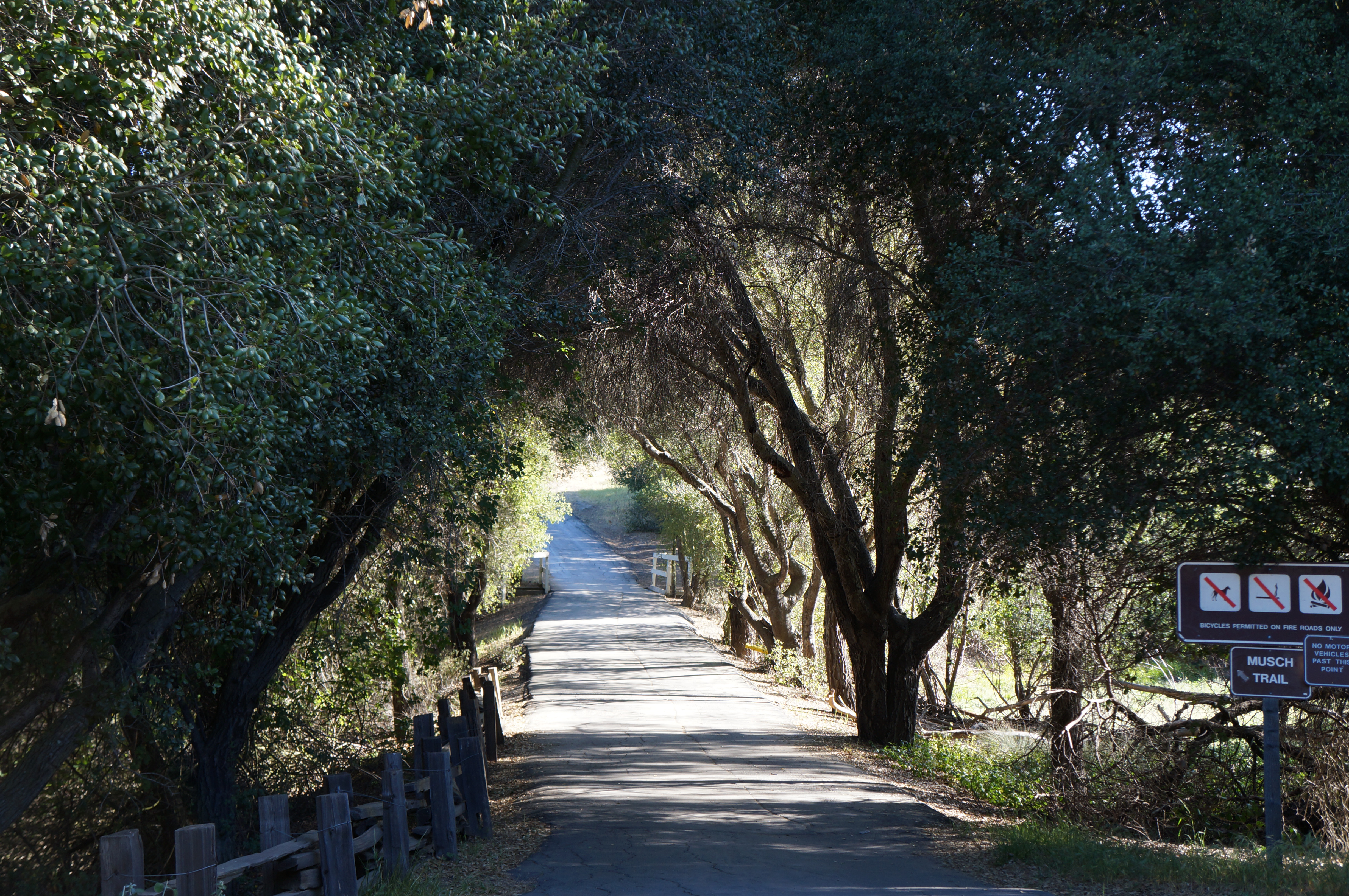
The dirt-road accessible only to ranger vehicles
The guide mentioned that bears were the most dangerous since they tend to charge at you as part of their defense mechanism; whereas elephants and tigers keep distance. Well (un)fortunately we only spotted bisons, tiger scratch marks and elephant poop. And I am not kidding, that was fun too!

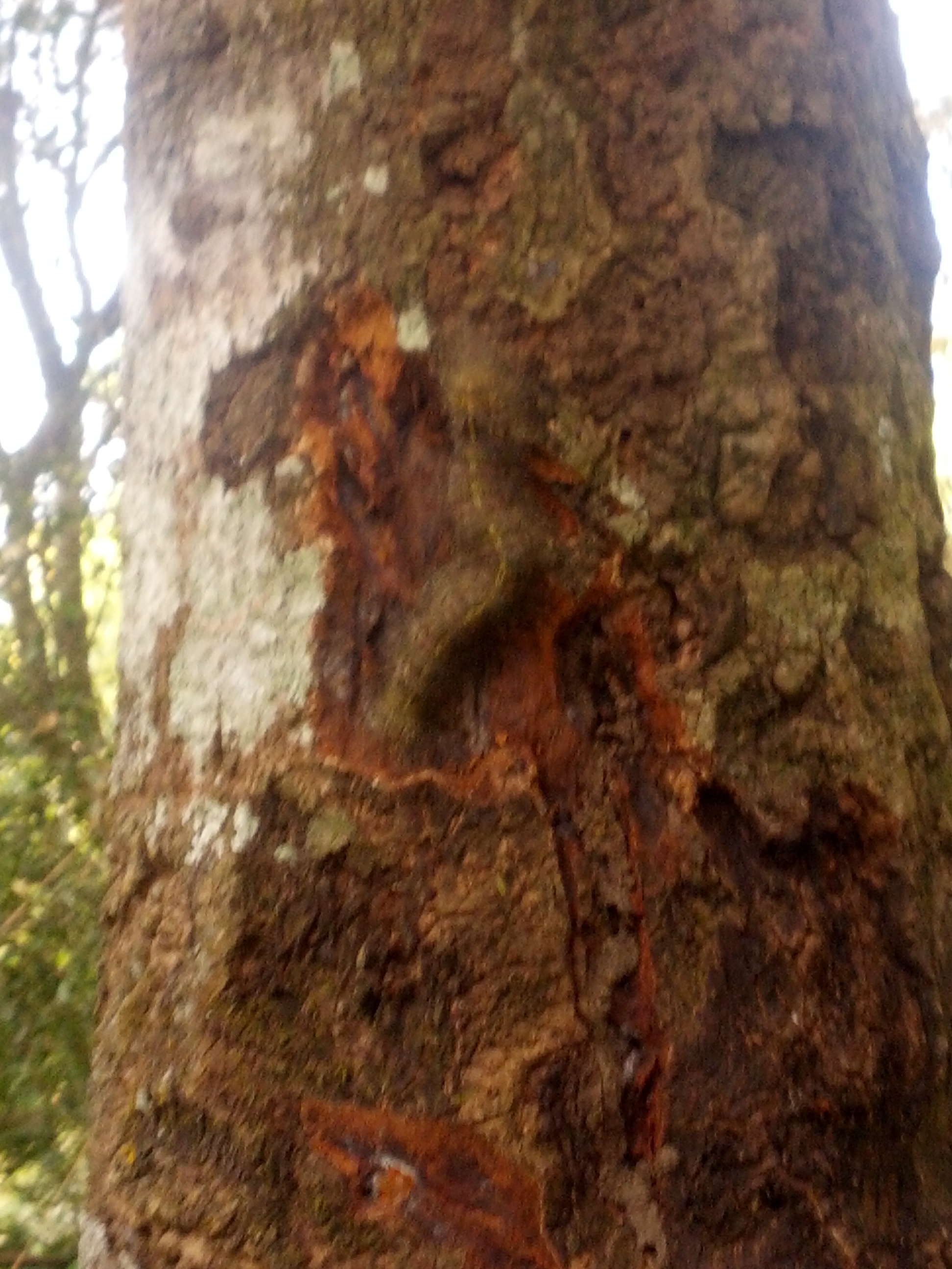
Tiger marks its territory boundaries by scratching against trees. I kept hearing this a lot ‘They are their own worst enemy’.

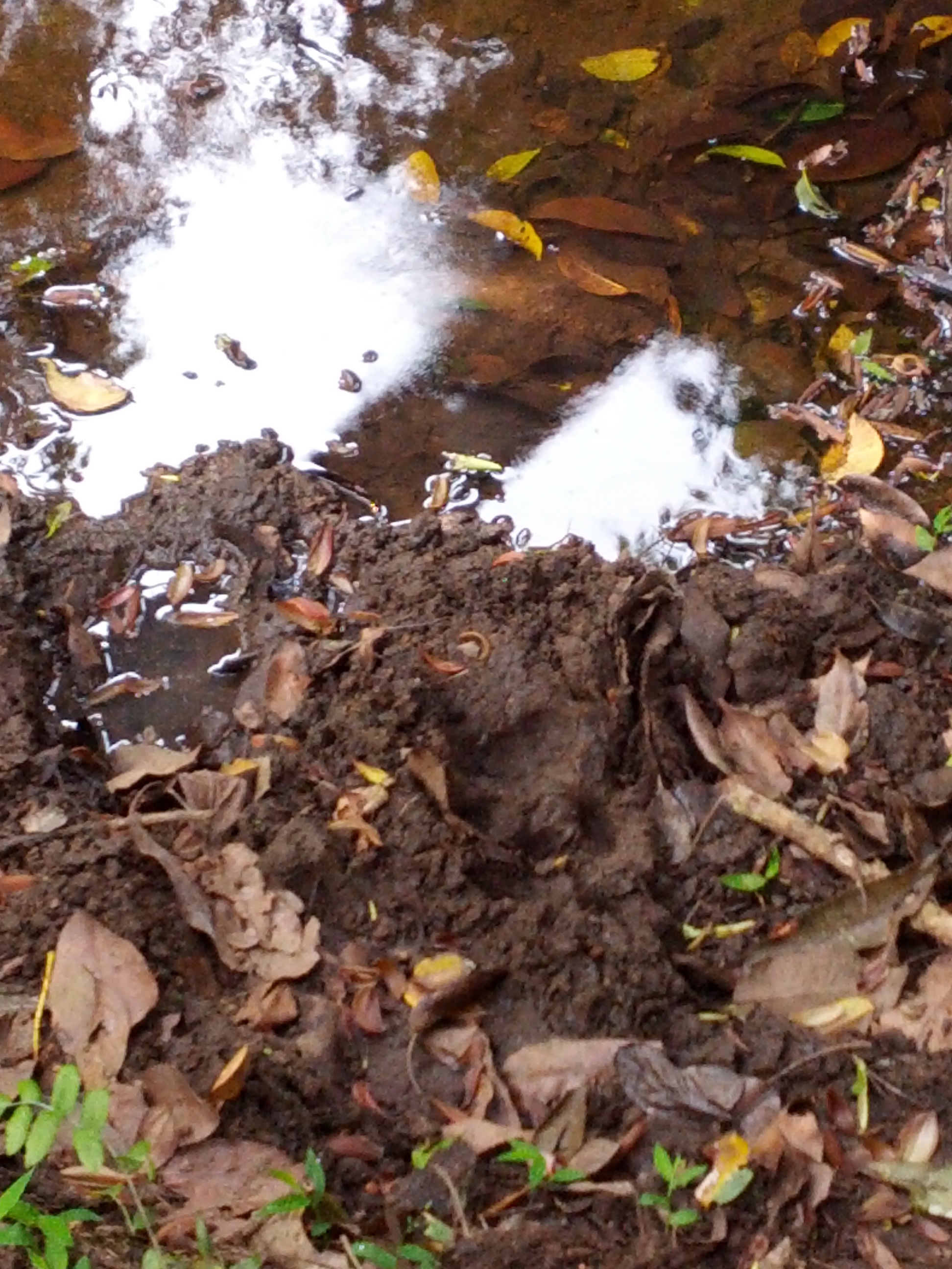
Spot the worm

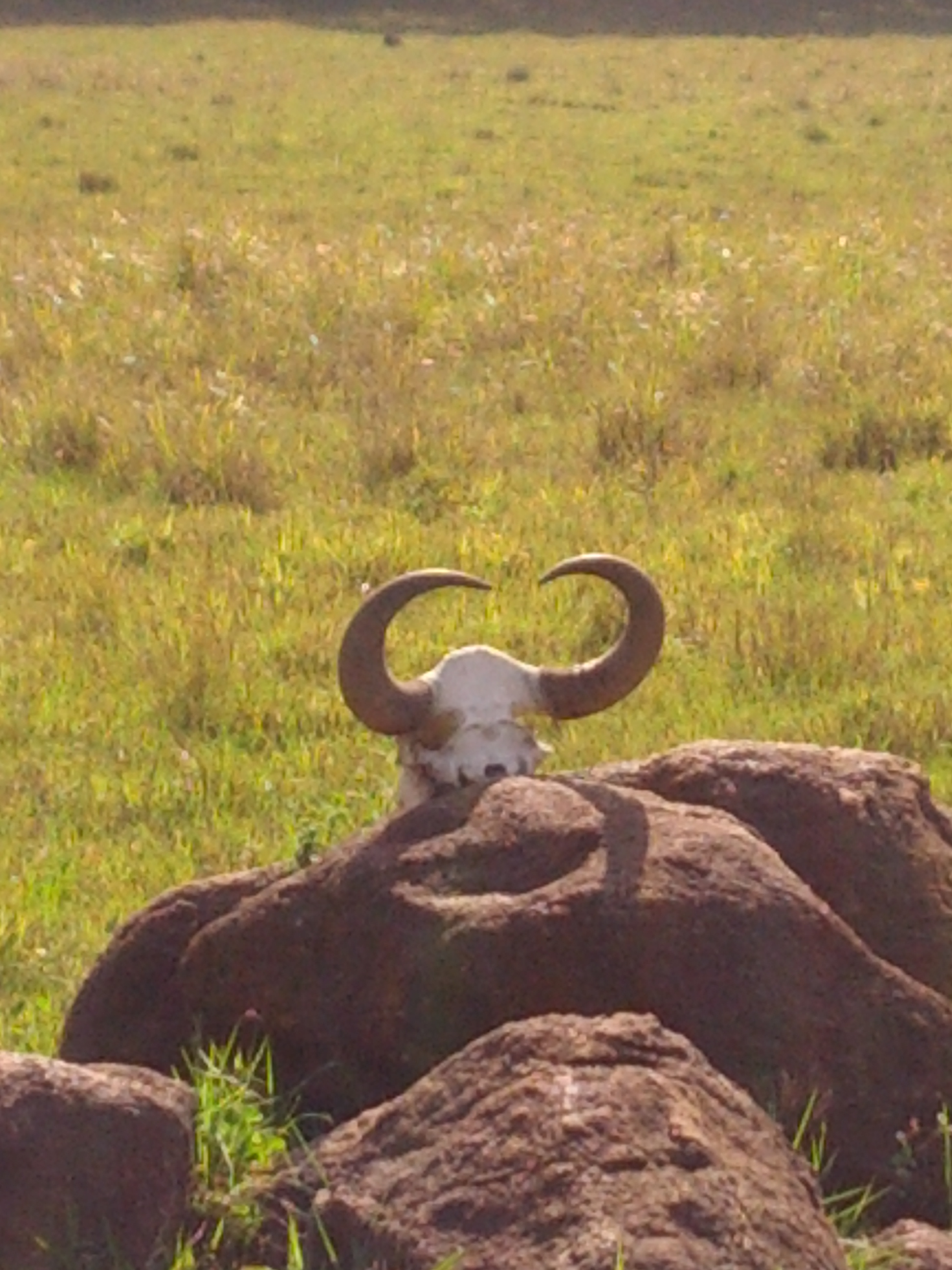
Bison. They like to stare
Day 2 was a trek+bamboo-rafting group adventure deeper into the forest with some forest guides and a gunman.
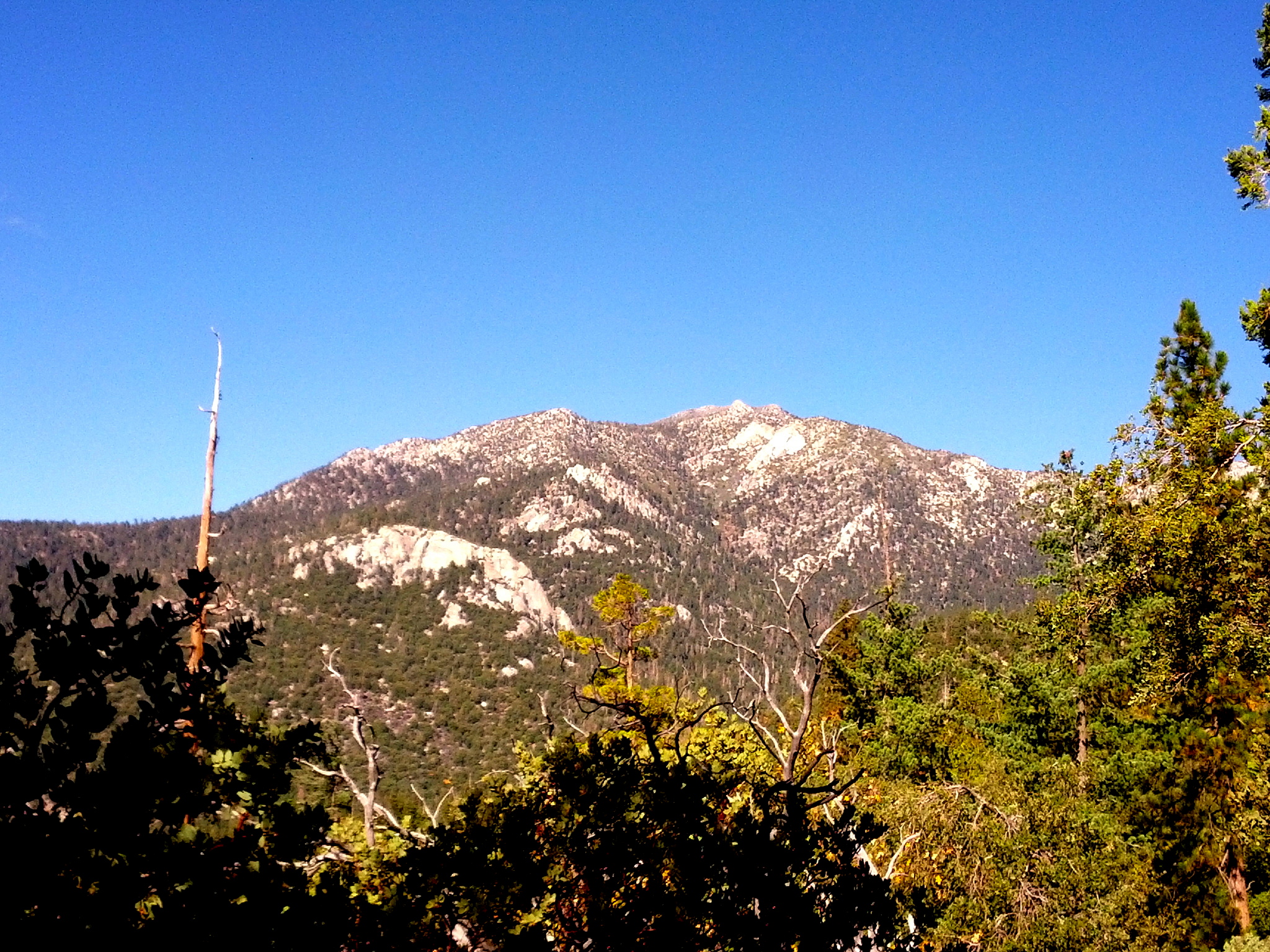
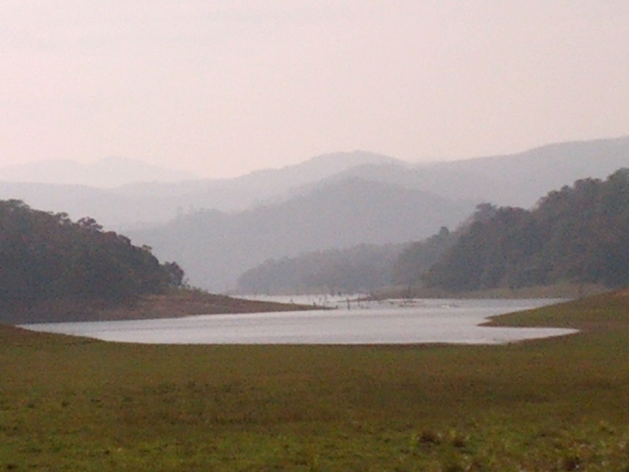
I finally got to see the beautiful Periyar lake – a man-made lake with a dam, built during the British colonial rule.

The lake submerged all the trees in its path and their stems now stick out when its not too deep.
And yay! We spotted an elephant :)

Noon pastime. Playing with water and mud.

Deer skull

Elephant jaw bone. You can guess the age by counting the number of teeth.
Tigers are the most difficult animal to spot within the forest. There are cameras inside to track them and the estimated number as of now is around 45. Well, we did manage to see their footprints.

Tiger footprint.
Finally, I found the spirit of the forest-rangers, naturalists, locals very touching and inspiring. Over the years they have overcome the problem of poaching and now they actively take part in it’s conservation.